EVAN DUNCAN FOLDS
Forgot to read his own bylaw
From a February 16, 2026 press release:
Councillor Evan Duncan announced today that when the "Safe Access to Vulnerable Infrastructure" report comes before the Executive Policy Committee on Tuesday, he will recommend the committee receive the report "as information" and not move forward with the proposed by-law.
But why?
The draft by-law was intended to set limited rules near a small number of sensitive sites
Duncan failed Political Representation 101: think about the implications of a law you’re proposing.
Previous material preserved for posterity.
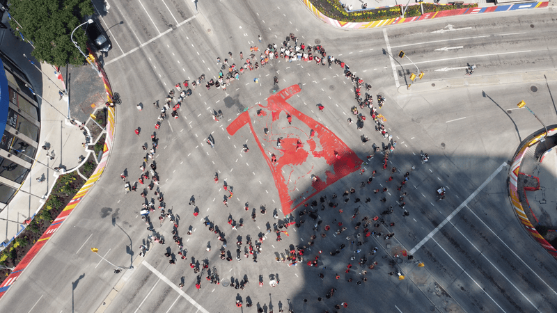
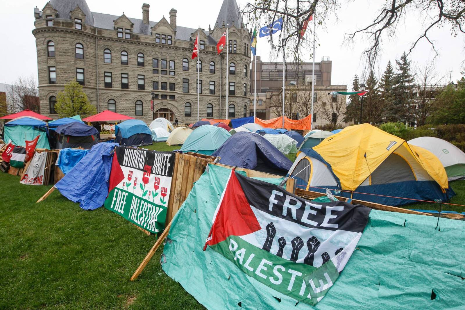
If they block us from public places, we’ll just have to go to their houses.
Vote to crack down on ‘nuisance’ protests set for Winnipeg city council
City council will soon vote on the proposed ban on “nuisance” protests and intimidation within 100 metres of schools, places of worship, hospitals and other “vulnerable social” locations.
This is a best-effort attempt to correlate the bylaw’s sloppy wording with the city’s assessment parcel/zoning dataset and OpenStreetMap.
From the bylaw:
No person shall engage in any nuisance demonstration within 100 metres of the site of a designated facility at any time.
What’s a “site”?
the parcel or parcels of land on which a designated facility is located
If you see something missing or incorrectly included, submit.
100m Charter-Free Zones
124.3km² of Winnipeg (26.8%) would be restricted
Legend
Placement mode
click add crowd boundary point
f then click set focus (speakers)
Enter finish site (prompts for chants)
Escape clear current site
click add crowd boundary point
f then click set focus (speakers)
Enter finish site (prompts for chants)
Escape clear current site
Ready — click to start
0:00
Changelog
- 2025-02-10 14:30: initial post
- 2025-02-10 18:24: more locations added, extracted from draft bylaw
- 2025-02-10 18:48: collapsed legend, added fullscreen button, changed title, added area/percent
- 2025-02-12 08:57: added Sargent Park and Osborne Library manually, fixed spacing in overlay
- 2025-02-12 20:46: added link to form, 640 Broadway
- 2025-02-13 13:48: added collapsible overlay, state persistence
- 2025-02-13 14:41: added 835 Notre Dame
- 2025-02-13 18:36: integrated OSM dentist and pharmacy data to remove two custom addresses
- 2025-02-13 19:02: added more from OSM but also switched to point buffers when parcels seem too big
- 2025-02-13: 19:08: added OSM attribution
- 2025-02-13: 20:28: added easter eggs
- 2025-02-14: 10:22: added 236 pharmacies missing from OSM, thanks to an anonymous contributor
- 2025-02-14: 20:46: fixed easter egg icon direction, added pharmacy data source
- 2025-02-15: 21:17: added more dentists thanks to an anonymous contributor, expanded to more types of property, added property names when available to tooltips, and updated to use full parcels as defined in the bylaw
- 2025-02-15: 22:12: moved most data from post to external resource to mitigate CMS crashes
- 2025-02-16: 08:53: added community centre and ODEF datasets for names and more facilities, removed cemeteries that aren’t city-owned